Geological Origins & Landscape Contrast
The great prealpine lakes of northern Italy were sculpted during the Pleistocene ice ages, when immense tongues of ice descended south from the central Alps, overdeepening existing river valleys far below sea level. Lake Como (Lago di Como) represents the extreme of this process: its bed plunges to a maximum depth of 410 meters, placing its lowest point more than 200 meters below Mediterranean sea level.
Lake Garda (Lago di Garda), by comparison, exhibits a distinct dual character. The northern reaches resemble a dramatic Norwegian fjord pinched between the sheer walls of Monte Baldo and the Ledro Alps, while the southern perimeter opens into gentle morainic hills around Sirmione and Peschiera del Garda. This topographical variance produces distinct localized weather systems, vegetation zones, and outdoor opportunities within a two-hour drive.
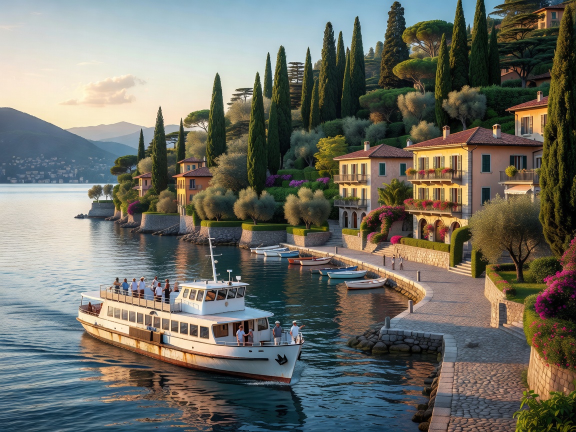
Lake Como: Navigating the Central Basin and High Balconies
Lake Como's unique tripartite geometry splits at Bellagio into the southwestern arm terminating at the city of Como and the southeastern arm terminating at Lecco. Because the road network along the shoreline involves narrow passages carved directly through rock faces, the regional public ferry system (Gestione Navigazione Laghi) serves as the primary mode of practical transit.
The mid-lake triangle connecting Varenna, Bellagio, Menaggio, and Cadenabbia runs frequent car and foot-passenger ferries. For travelers arriving by rail from Milan, the direct Trenitalia connection to Varenna-Esino on the eastern shore provides the most stress-free entry point, completely bypassing dense lakeside driving bottlenecks.
Iconic Trekking: The Sentiero del Viandante
Running along the eastern shores of Como, the Sentiero del Viandante (Wayfarer's Trail) traces an ancient commercial footway from Abbadia Lariana to Colico over roughly 45 kilometers. The route stays elevated between 300 and 700 meters above the water, offering expansive panoramas of the Grigna massifs without requiring technical mountaineering equipment. The trail intersects railway stations in nearly every lakeside village, making single-day section hikes straightforward and flexible.
Limnological Quick Fact
Due to Lake Como’s extreme depth and enormous volume of cold water, its thermal inertia creates a stable sub-Mediterranean microclimate. Lemon trees, olive groves, and subtropical plants thrive at the water’s edge despite snow-capped peaks looming directly above.
Lake Garda: The Wind Corridor of the Upper Trentino
Where Lake Como is renowned for quiet aristocratic villas and vertical cliffs, Lake Garda’s northern basin around Torbole and Riva del Garda is recognized internationally as one of Europe’s premier centers for wind-powered water sports.
The topography acts as a natural venturi funnel. Every morning, the thermal gradient pushes the Pelér wind from north to south; by midday, solar heating across the northern mountain bowl reverses the pressure, generating the steady afternoon Ora blowing south to north at 12 to 20 knots. Windsurfers, wing-foilers, and dinghy sailors take advantage of these dependable shifts from dawn until dusk.
Active Routes: Ponale Road & Monte Baldo
On Garda's northwestern flank, the historic Strada del Ponale, originally carved out in the 1850s to link Riva with the Valle di Ledro, now operates exclusively as a pedestrian and gravel-cycling path. Carved high into sheer limestone overhangs above the cobalt water, it is one of the continent's most scenic easy rides.
For high-elevation trail systems, the rotating cable car from Malcesine climbs directly to the crest of Monte Baldo at 1,760 meters. Known to botanists as the "Garden of Europe" due to endemic flora that survived glacial isolation, Baldo offers ridge walks overlooking both the southern Po Valley and the snowcapped Brenta Dolomites.
Comparative Specifications: Como vs. Garda
| Feature | Lake Como (Lombardy) | Lake Garda (Lombardy/Veneto/Trentino) |
|---|---|---|
| Surface Area | 146 km² | 370 km² (Largest in Italy) |
| Max Depth | 410 m (Glacial Trough) | 346 m (Upper Fjord) |
| Surface Elevation | 198 m above sea level | 65 m above sea level |
| Summer Water Temp | 20°C – 23°C (Surface) | 22°C – 25°C (Southern shores warmer) |
| Primary Rail Access | Varenna-Esino • Como San Giovanni | Desenzano del Garda • Peschiera del Garda • Rovereto |
| Primary Outdoor Focus | Ridge walking, cliff villas, ferry touring | Windsurfing, via ferrata, gravel biking |
Logistical Evaluation & Seasonal Timing
Pros & Advantages
- Transit accessibility: Both lakes are served directly by high-frequency regional and EuroCity rail services from Milan, Venice, and Munich.
- Season length: Mild spring and autumn temperatures allow pleasant outdoor operations from late March through October.
- Ferry density: Regular vehicle and fast catamarans allow village-hopping without navigating tight shoreline roads.
Challenges & Considerations
- Peak vehicle congestion: The narrow lakeside roads (such as Como's SS340 or Garda's Gardesana Occidentale) experience severe summer traffic delays. Using ferries or trains is strongly advised.
- Steep shore profiles: Lake Como has limited natural sand beaches; swimming typically takes place from stone quays, pontoons, or dedicated lido facilities.